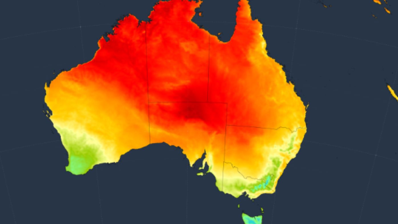
An unusual warm air mass will challenge winter heat records in central Australia over coming days, with temperatures set to climb more than 15 degrees above the seasonal average.
A slow-moving ridge of high pressure has allowed hot air to build over northern Australia this week. It will start to spread further south over the next few days ahead of an approaching low-pressure system and associated trough.
This air mass is exceptionally hot for this time of year, with temperatures in central Australia predicted to reach levels more typical of mid-summer than winter.
READ MORE: Cause of mystery explosion that shook parts of Perth revealed
Some places in the far north of South Australia could be more than 15°C warmer than average on Saturday afternoon, according to current forecasts.
The mercury could climb to 36 degrees at Coober Pedy and 38 degrees at Oodnadatta.
These temperatures could challenge SA’s current winter heat record of 36.5 degrees from Oodnadatta on August 12, 1946.
In Queensland, temperatures are forecast to reach 35 degrees to 37 degrees around Birdsville and Bedourie between tomorrow and Sunday.
This heat is within a couple of degrees of the state’s winter record, which currently stands at 38.5 degrees from Bedourie on August 29, 2009.
The Northern Territory’s winter record of 39.7 degrees is not likely to be challenged by this week’s heat, although southern parts of the territory are predicted to reach 35 degrees to 38 degrees between today and Sunday.
While the highest temperatures over the coming days will occur in central Australia, unseasonably warm air will also waft over the country’s southern and eastern coastlines later this week.
The mercury in Sydney is forecast to reach 26 degrees on Sunday, while Brisbane is heading for a balmy 28 degrees.
Melbournians can look forward to a maximum temperature of 22 degrees and Adelaide a top of 21 degrees.
links to content on ABC
9News


