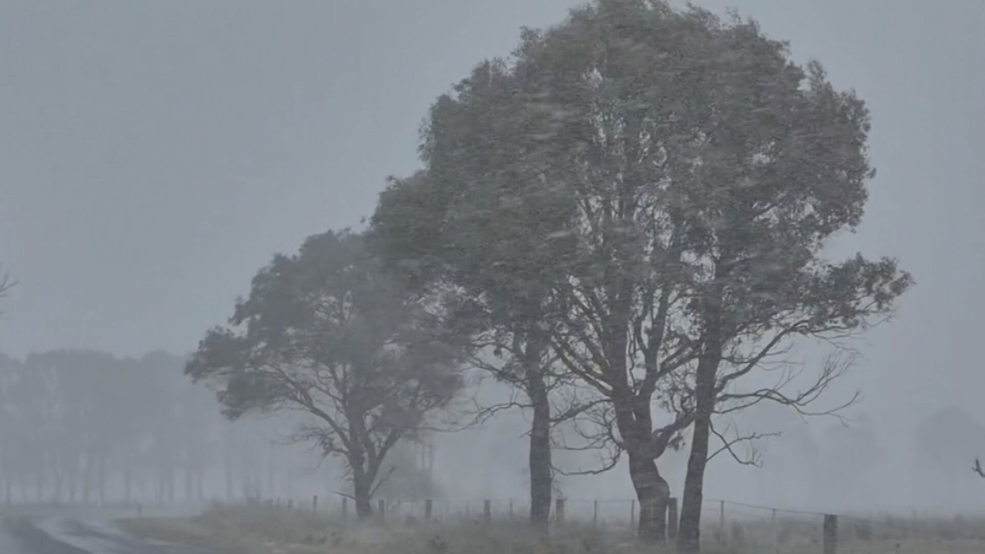
Some Queenslanders were bracing for a possible once-in-a-decade snowstorm overnight off the back of sub-zero temperatures and a freak wind storm that tore through parts of the state.
The Bureau of Meteorology warned wet and cold conditions could bring snowfall north from the border of NSW as early as yesterday afternoon.
“It is certainly cold enough,” a Bureau of Meteorology spokesperson said.
READ MORE: Student may never have to work again after scooping $20k-a-month lottery prize
“It just depends on can we get moisture and some showers across the Granite Belt and there’s certainly a chance during this afternoon and evening and overnight as well.”
The warning came as icy temperatures were felt across the state.
Oakey, near Toowoomba, was the coldest place in the state, falling to minus 3.2 degrees, while Hughenden had its coldest July day since 2016 with 0.7 degrees and Mt Isa fell to 1.3 degrees.
Stanthorpe dropped to zero degrees yesterday morning.
Yesterday afternoon, a wind storm ripped up signs and cut off power to about 20,000 homes from the Sunshine Coast to the Gold Coast.
READ MORE: Australian senator wants to deport Jack Black over bandmate’s Trump joke
Logan and the Moreton Bay region were hit the worst with 6000 people left powerless in each, while Energex warned the continued winds may hinder restoration.
In Brisbane, inner-city suburbs experienced wind gusts up to 70km/h while elevated regions like Mt Coot-tha felt up to 90km/h.
The wind even uprooted a 20-metre-tall floodlight from its foundations, crashing it into a nearby roof.
At Kangaroo Point, a roof was blown right off the popular Joey’s Cafe and at Chapel Hill, a tree smashed the side of a home and narrowly missed the owners, who were at home at the time.
The gusty and cold conditions are forecast to continue today and tomorrow.
links to content on ABC
9News